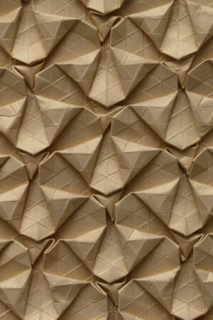
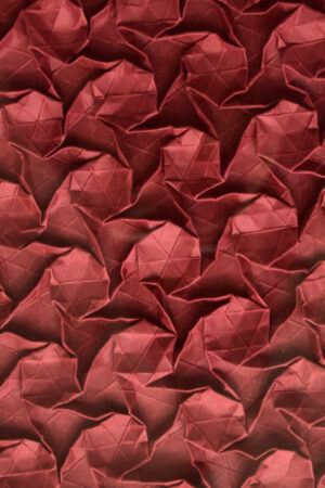
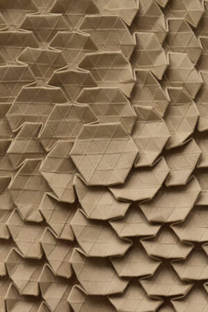
The artwork is based on maps of mainland Guatemala, the towns and mountains where our grandparents were born.
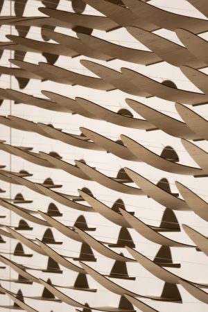
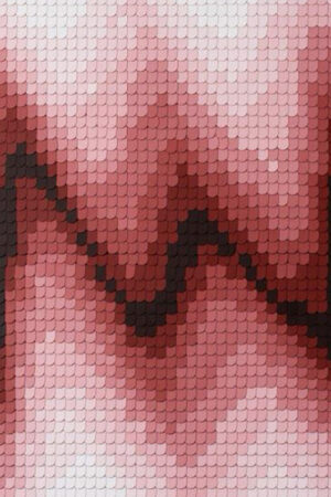
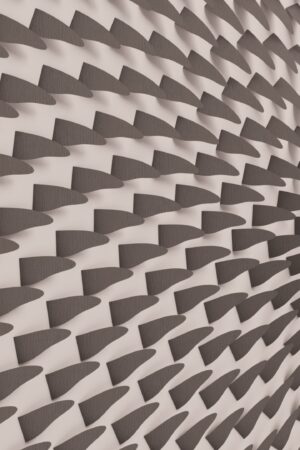
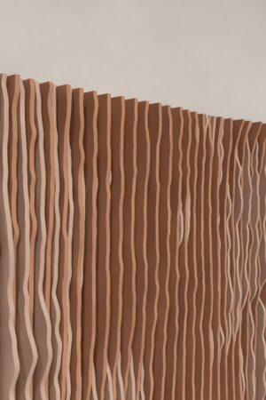
This series of patterns was created by analyzing and coloring different topographic features, such as slopes and river basins. In 2000, NASA launched the Space Shuttle Radar Topography Missions, which captured an accurate 3D model of the Earth’s surface. This information was published entirely on the Internet and is free and available to anyone in the world.
Ancestors… Teculután, Zacapa. This is my grandfather’s birthplace. Teculután is a small town in La Vega del Cobán, Zacapa. I remember when my grandfather used to talk about him and the stories of the Motagua River. We traveled every year on vacation with my family.